
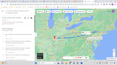
Travel Day -> Indiana
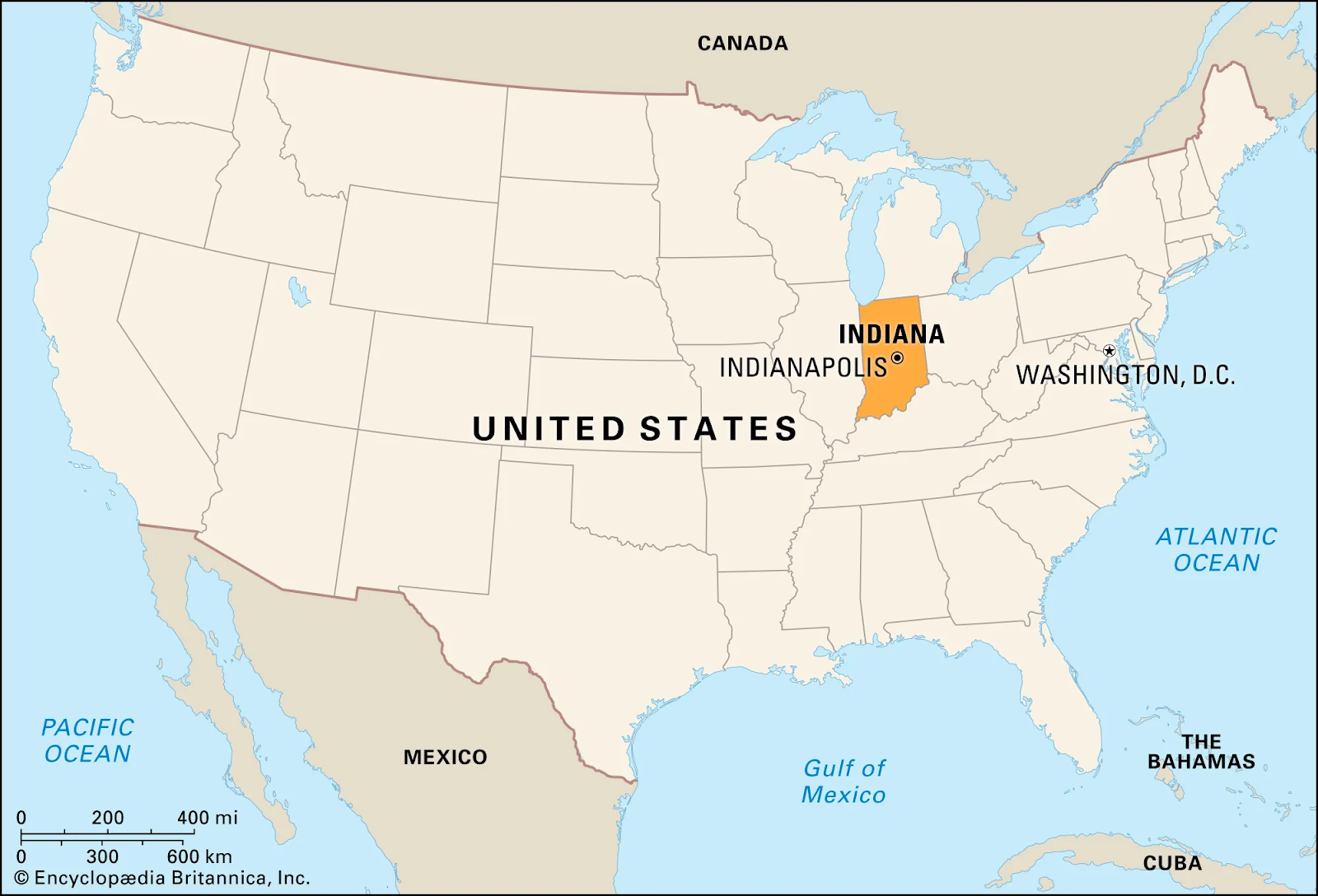
Indiana is a U.S. state in the Midwestern United States. It is the 38th-largest by area and the 17th-most populous of the 50 States. Its capital and largest city is Indianapolis. Indiana was admitted to the United States as the 19th state on December 11, 1816.
Abbreviation: IN
Capital: Indianapolis
Temperature: 54 degrees, sunny
Time: 2:00pm (EST)
As of April 2, 2006, most of Indiana is in the Eastern time zone, except 18 counties* in northwest and southwest Indiana that have remained or changed to the
Nickname: The Hoosier State
Population: 6.8 million (PA 12.8)
Size: 36,418 sq mi (PA 46,000)
Cost of Living: $42,697 (PA $49,040)
Minimum Wage: $7.25 (PA $7.25)
Statehood: December 11, 1816
State Flag:

The torch stands for liberty and enlightenment; the rays represent their far-reaching influence. The thirteen stars in a circle represent the original thirteen states; the five stars in the circle represent the next five states; the large star is Indiana, the nineteenth state.
State Bird:

Cardinal
State Flower:

Peony
State Tree:

Poplar

State Quarter:

Indiana, admitted into the Union on December 11, 1816, themed the coin, Crossroads of America. Highlighted on the coin is an image of a racecar superimposed on an outline of the state, and 19 stars which signifies that the state was the 19th admitted into the Union.
Indianapolis
With 15,696 acres to its name, Brown County State Park in Nashville, Indiana is the largest Indiana State Park. Located inside the park is Weed Patch Hill, which - at an elevation of 1,058 feet - is one of the highest points in Indiana.

Weed Patch Hill


Notre Dame

1951 Studebaker Manta Ray

1924 Maxwell Sport Touring
1915 Auburn Model 4-43

Duesenbergs

1911 Stutzes Bearcat

James Dean

"Chuck Taylors"

Angel Mounds Historical Site

Herbert Baumeister
Santa Claus, Indiana
Thunderbird Steel Roller Coaster
Catacombs under Indianapolis


Comments
Post a Comment